Dearest Rachel –
Between the events – or perhaps more accurately, the lack thereof – of my first trip on my own, combined with the fact that our first port of call was scratched due to the fire last summer (you’d think that Lahaina could use tourism money that much more these days, in order to rebuild; I’ve heard about a concept called “voluntourism,” and although it’s not really the sort of thing one could engage in as a day-tripping cruiser, there were brochures and catalogs about such trips at the travel agency that I’ve been working with, so they must book such trips from time to time), I’ve waited until virtually the last minute to research the ports of call. This is my first one, and rather than write it up weeks in advance, I’m putting it together with less than a day to go before I would, in past circumstances, be presenting it at the dinner table.
Consider it a tribute to procrastination; hopefully, you would consider that worthy of approval.
Anyway, Hilo; our first actual destination, and a substitute one, at that.

It’s the largest community, for lack of a better term (more on that in a moment), on Hawai’i. And I say on Hawai’i because, while the entire Hawaiian archipelago is referred to as Hawaii, the largest island (known locally as “the Big Island” for obvious reasons) bears the name itself. For the sake of clarity, I’ll use an apostrophe when referring to the island, and leave it out when talking about the state; not that it’s clear which is more appropriate for which, but as long as I set the rules here, it should be easier to keep them distinct for now.
You’ll notice also that I had an issue with how to refer to Hilo itself. That’s because it’s not a city, town or village; in fact, it doesn’t have any form of municipal government at all. However, as the seat of Hawai’i county (which takes up the entirety of the Big Island), the county government is responsible for providing services and governance to Hilo as well as the rest of the island. Hilo, despite being an unincorporated census-designated place, was designated as the county seat of Hawaii County due to its historical significance, central location, and economic importance on the island – to say nothing of the fact that, as a community, it is the largest by far on the island, more than double the population of its next runner-up, Kailua-Kona (our next destination).
That doesn’t mean that it’s very large, though. While it takes up a little more than fifty square miles of land – which, admittedly, is three times larger than my (our?) hometown, it contains only somewhere between half and two-thirds the number of people – around forty-five thousand. The tourism industry here, while obviously existent, is considerably less than that of its leeward counterpart – as evidenced by the fact that Kailua-Kona was part of the original schedule, while Hilo was added as an afterthought when Lahaina became unavailable. There are specific events for which to visit Hilo – the Merrie Monarch Festival, held annually in the days after Easter, is one of the largest and most prestigious hula competitions in the world; and the annual Hilo Orchid Show, the largest and most comprehensive such show in the state, which draws visitors and entrants worldwide since its beginnings in 1951 – but as these are held later in the spring (if one can make such distinctions in a tropical climate such as this), I won’t get a chance to see them, I’m afraid.
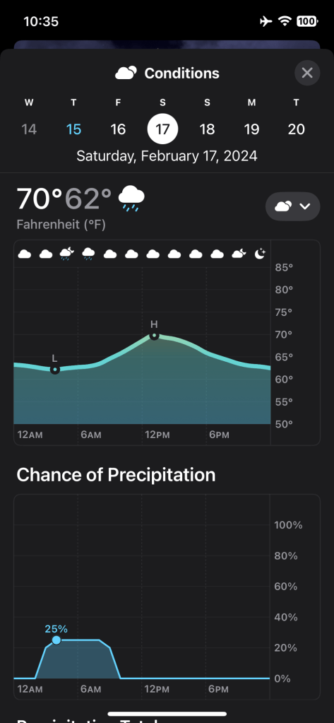
I’m also likely to get wet, as Hilo is one of the wettest cities in the United States. It receives an average annual rainfall of around 126 inches (about 3200 millimeters). Rainfall is common throughout the year in Hilo, with precipitation occurring on most days. The city’s location on the windward side of the Big Island of Hawai’i exposes it to moisture-laden trade winds, resulting in frequent rainfall. This abundant rainfall contributes to the lush green landscapes and vibrant vegetation that characterize the area – so at least it has the benefit of rendering it that much more picturesque.
While I probably could give you more information about the community, such as how the name “Hilo” comes from the Hawai’ian word for “to twist,” referring to the various rivers flowing into Hilo Bay, let me give a rundown of where we’re to be visiting tomorrow (thank you, ChatGPT):
Waipio Valley: Home to several sacred sites, including ancient Hawai’ian temples (heiau) and burial grounds, Waipio is a lush, verdant valley surrounded by towering cliffs that rise nearly 2,000 feet (600 meters) above sea level. The valley floor is filled with taro fields, lush vegetation, and a meandering river that flows into the Pacific Ocean. It was once the royal capital of the island of Hawaii and served as a center of political and religious activity. The valley is also associated with many Hawaiian legends and myths. It has a breathtaking beauty, complete with cascading waterfalls, pristine beaches, and dramatic vistas, including panoramic views of the valley from overlooks along the road leading into the valley.
Laupāhoehoe: a small community located on the northeastern coast of the Big Island of Hawai’i, also known as the Hamakua Coast. It is known for its lush greenery, rugged coastline, and stunning ocean views, including Laupāhoehoe Point, a rocky promontory that extends into the ocean, and offers panoramic views of the coastline. It’s a popular spot for picnicking, fishing, and whale watching during the winter months. It dates back to ancient times, when it was inhabited by native Hawaiians. The area was traditionally used for fishing, farming, and gathering resources from the land and sea. In the 19th century, Laupāhoehoe became a hub for the sugar industry, with several plantations operating in the region. Now, the community is home to a small harbor that serves as a hub for local fishermen and recreational boaters, as well as (of all things) a train museum, showcasing the history of the Hawaii Consolidated Railway, which operated a railroad line along the Hamakua Coast in the early 20th century. A tsunami in 1949 effectively destroyed the railway; in its place was built the Hawaii Belt Road, parts of it right atop the old railbed.
Akaka Falls: Located in the Akaka Falls State Park, situated along the northeastern Hamakua Coast, this waterfall plunges 442 feet (135 meters) from a sheer cliff into a lush tropical gorge below. It’s surrounded by dense rainforest vegetation, adding to its scenic beauty. According to legend, Akaka was beautiful Hawaiian princess who was forbidden to marry the man she loved, so she threw herself over the cliff at the top of the waterfall to be with him forever. Some versions of the legend suggest that Akaka’s spirit still lingers near the waterfall, and her presence can be felt by those who visit. Another legend associated with Akaka Falls tells of a healing spring located near the base of the waterfall. Supposedly, the water from this spring has special healing properties, and those who drink from it or bathe in it are said to be rejuvenated and cured of ailments. However, Akaka Falls and the surrounding area are considered sacred by the native Hawaiian people, who believe that the land is inhabited by ancestral spirits and deities. Visitors are often reminded to show respect for the land and its spiritual significance by observing certain customs, such as not removing rocks or plants from the area.
Rainbow Falls: Known as Waianuenue in Hawaiian, it gets its name from the beautiful rainbows that can often be seen in the mist created by the waterfall, especially in the morning when the sunlight hits the water just right. The waterfall drops approximately 80 feet (24 meters) into a large pool below. The flow of water can vary depending on recent rainfall, with the waterfall being most impressive after periods of heavy rain. It cascades over a natural lava cave, adding to its unique appearance. According to Hawaiian folklore, the cave behind the waterfall is the home of Hina, the mother of the demigod Maui. It is said that Hina’s spirit still resides in the cave, and she occasionally appears to those who visit the waterfall.
Banyan Drive: Part of the historic downtown area of Hilo, Banyan Drive describes a small peninsula that sticks out into Hilo Bay, just north of the community, bounding the Naniloa Golf Club. It is famous (and named) for its beautiful banyan trees that line the street, providing shade and a picturesque environment for visitors and residents alike. Many of the trees were planted by various notable figures over the years, including the likes of Babe Ruth and Amelia Earnhardt. Each tree is marked with a plaque identifying the individual who planted it, creating a unique and historical atmosphere along the drive. Presumably, this is where we might find certain ‘shopportunities,’ including possibly some macadamia nuts, as Hilo is home to the Mauna Loa Macadamia Nut Corporation, the world’s largest processor of macadamia seeds.
Well; now I figure I’m reasonably well-equipped to know what to expect when we make port early tomorrow morning. Keep an eye on me, honey, and wish me luck. Even as prepared as I think I am, I’m still going to need it.

